UPDATED: 4:19p
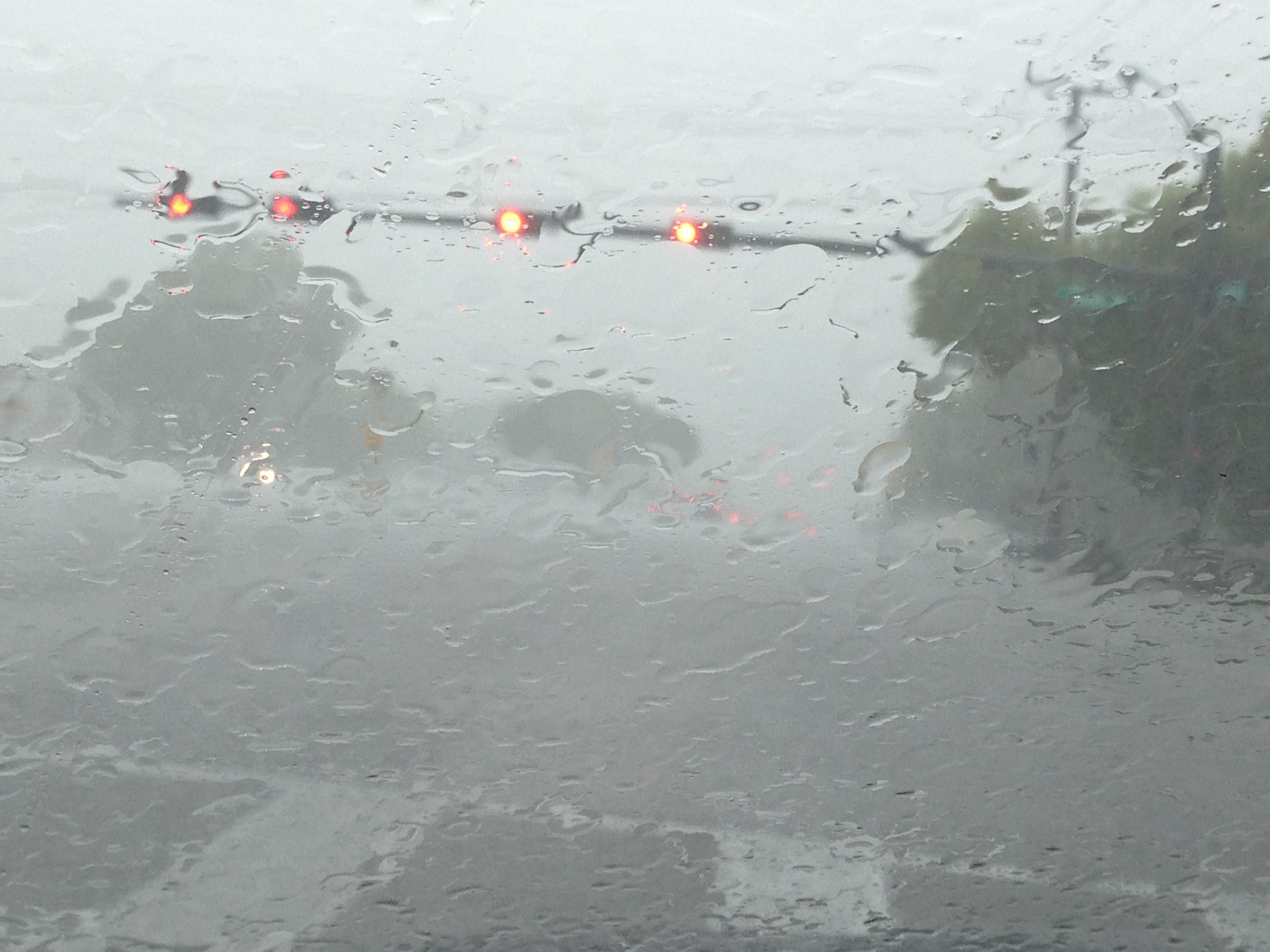
BOCA RATON, FL (BocaNewsNow.com) — We don't want to sound like a local television station during May Sweeps — and we won't be jumping into a rip current to see if we sink or swim — but we do want to point out that it is very slow going throughout much of Boca Raton and South Palm Beach County this afternoon. The heavy, flash storms that covered much of the area over the past several hours left significant amounts of standing water in all the usual places.
Glades Road, Palmetto Park Road, Military Trail, Northwest Second Avenue all have tremendously high water levels. In fact, NW 2nd Avenue and 35th Street is closed for now. Boca Raton Police tell us that cars are actually stuck.
At 4:15p, police advise you should avoid Military Trail, Jog at Yamato, NW2nd Avenue. This is not a complete list. Conditions are rapidly changing.
The National Weather Service has issued a flood advisory that remains in effect until 5p.
Be extremely careful as you are heading home or picking up the kids. And if you can safely take a photo of any problem areas, please do and email us at news (at) bocanewsnow.com
Here is the latest weather advisory (as of 3:30 p) form the National Weather Service:
THUNDERSTORMS: A LINE OF STRONG TO SEVERE THUNDERSTORMS WILL MOVEFROM THE GULF OF MEXICO ONSHORE THE MAINLAND MONROE COAST THENEAST AND INTO THE GREATER MIAMI METRO AREA. ISOLATED SEVERE WINDGUSTS TO AROUND 60 MPH ARE POSSIBLE WITHIN THIS LINE OF STORMS.NUMEROUS THUNDERSTORMS WILL CONTINUE TO IMPACT THE PALM BEACHMETRO, WITH NUMEROUS ACTIVITY DEVELOPING ACROSS THE ENTIRE EASTCOAST THROUGHOUT THE DAY.WIND: STRONG WINDS OF 50 TO 60 MPH ARE POSSIBLE WITH THETHUNDERSTORMS INTO EARLY THIS EVENING, WITH THE MAIN THREATASSOCIATED WITH THE LINE OF STORMS FORECAST TO MOVE ACROSSMAINLAND MONROE AND MIAMI-DADE COUNTIES.FLOODING: TORRENTIAL DOWNPOURS FROM SLOW MOVING THUNDERSTORMSMOVING ACROSS THE SAME AREA WILL PRODUCE LOCALIZED RAINFALLAMOUNTS IN EXCESS OF 3 INCHES. THIS WILL NOT ONLY RESULT INA THREAT OF URBAN FLOODING, BUT THERE IS THE POTENTIAL FORLOCALIZED FLASH FLOODING WITH STREET CLOSURES AND THE POTENTIALFOR WATER ENTERING HOMES OR BUSINESSES. THIS THREAT EXISTSACROSS THE ENTIRE EAST COAST METRO AREA.HAIL: SMALL HAIL IS POSSIBLE WITH THE THUNDERSTORMS THISAFTERNOON.TORNADOES: AN ISOLATED TORNADO IS POSSIBLE NEAR THE COAST WHERETHUNDERSTORMS INTERACT WITH SEA BREEZE BOUNDARIES.WATERSPOUTS: THERE IS A SLIGHT RISK OF WATERSPOUTS OFF THESOUTHEAST FLORIDA COAST.

