BY: WEATHER TEAM | BocaNewsNow.com
BOCA RATON, FL (BocaNewsNow.com) (Copyright © 2023 MetroDesk Media, LLC) — The official hurricane map is quiet, but it may not be for long. There are four tropical waves being watched by meteorologists at the National Hurricane Center. While none may become anything of concern, we are nearing “peak hurricane season” — the time when the tropics often become extremely active. The following is the official “discussion” from the NHC for Wednesday, August 9th.
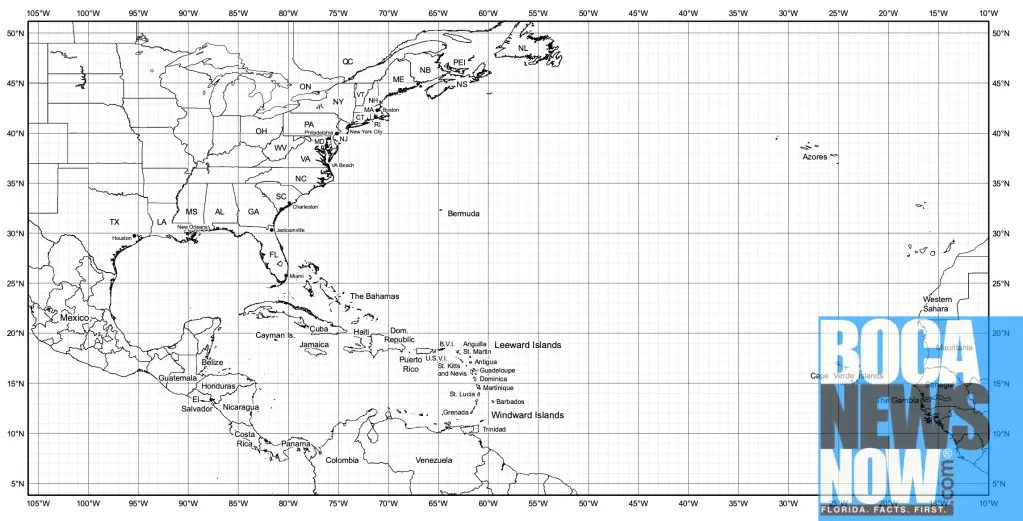
An eastern Atlantic tropical wave has its axis along 20W, south
of 17N, and is stationary. Scattered moderate convection is noted
from 07N to 10N and east of 20W.
Another eastern Atlantic tropical wave has its axis along 35W,
south of 17N, and is stationary. Scattered showers are noted in
the vicinity of the tropical wave.
A tropical wave approaching Barbados and the Lesser Antilles has
its axis along 59W, south of 20N, moving westward at 10-15 kt.
Scattered moderate convection is from the coast of Venezuela
north to 14N between 60W and 64W. Scatterometer detected fresh
trades at the surface near the wave axis.
A central Caribbean tropical wave has its axis along 74W, south
of 20N, moving westward at 10-15 kt. Scattered showers are noted
in the Windward Passage near the northern terminus of the wave
axis.

